District Profile
Distribution of district data in small unit
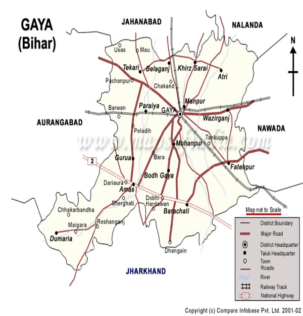
Total No. of Villages - 2925
Total No. of Panchayats - 333
Total No. of Blocks - 24
Total No. of Subdivisions - 04
Ā
Land utilization pattern of district (ha)
Ā
Geographical Area - 493774
Agricultural land - 228648
Cultivated area (Kharif) - 216400
Cultivated area (Rabi) - 191600
Cultivated area (summer) - 6632
Irrigated area - 145000
Non-irrigated area - 83648
Infertile Land - 27836
Area under Forest - 77836
Ā
Soil Type/s
Ā
| S.N. | Soil Type | Characteristics | Area (ha) | % age |
|---|---|---|---|---|
| 1 | Sandy Loam | Admixture of sand & Clay, predominantly sandy, found alongside the river beds. | 210-742 | 42 |
| 2 | Loamy soil | Found near the hills and formed by rains washings from higher area. | 110-20 | 22 |
| 3 | Sandy soil | Publically known as Balui, found near the bank of the river. | 70-26 | 14 |
| 4 | Kewal Soil (Black) | It is a mixture of clay and loam and is very productive acidic in nature. | 86-27 | 17 |
| 5 | Foot hill Balthar Soil (Red) | It is in between the plain and dissected plateau. It is acidic in nature. | 17-14 | 05 |
Ā
Major farming systems/enterprises (based on the analysis made by the KVK)
Ā
| S.N. | Farming System/Enterprise |
|---|---|
| 1 | Paddy - Wheat ¢ Moong |
| 2 | Paddy ¢ Lentil ¢ Fallow |
| 3 | Paddy ¢ Rai ¢ Moong |
| 4 | Paddy ¢ Sugarcane |
| 5 | Paddy ¢ Potato - Vegetable |
| 6 | Maize ¢ Potato ¢ Vegetable |
| 7 | Dairy, Poultry, Bee keeping and Fishery are important enterprises adopted by selective farmers. |
Ā
Description of Agro-climatic Zone (based on soil and topography)
Ā
| S.N. | Ā | Ā |
|---|---|---|
| 1 | Zone ¢ IIIB | Climate is subtropical having average annual rainfall 944 mm. June is the hottest month when temperature goes up to 490C while December is the coldest month when temperature goes down to 20C. Average Relative Humidity is 66%. |
Ā
Description of major agro ecological situations (based on soil and topography)
Ā
| S.N. | Agro Ecological Situation | Characteristics |
|---|---|---|
| 1 | Irrigated Plain (Sandy-loam to loam soil) | The geographical area of the district is 493774 ha. Out of which Cultivable land is 198123 ha, comprising upland (49765 ha) medium land (110874ha) and low land (37484 ha). Major crop is paddy followed by wheat & vegetables. Among oil seeds & pulses rai, linseed, lentil, gram and red gram are important crops. |
| 2 | Rainfed Plain (Sandy Loam, Light to heavy texture Soil) | Ā |
| 3 | Hilly Upland (Rainfed, Undulating topography) | Ā |